Hiking the Rocky Mountains

Archive - June 2016

Kruger Rock Trail

Kruger Rock

If you are looking for a short hike in the Estes Park area with spectacular 360° views, Kruger Rock Trail is your hike!

I absolutely loved this trail. It’s only 4.4 miles round-trip, with an elevation gain of 940 feet. For our third family hike of the season, it was a good moderate trail.

IMG_5216_1

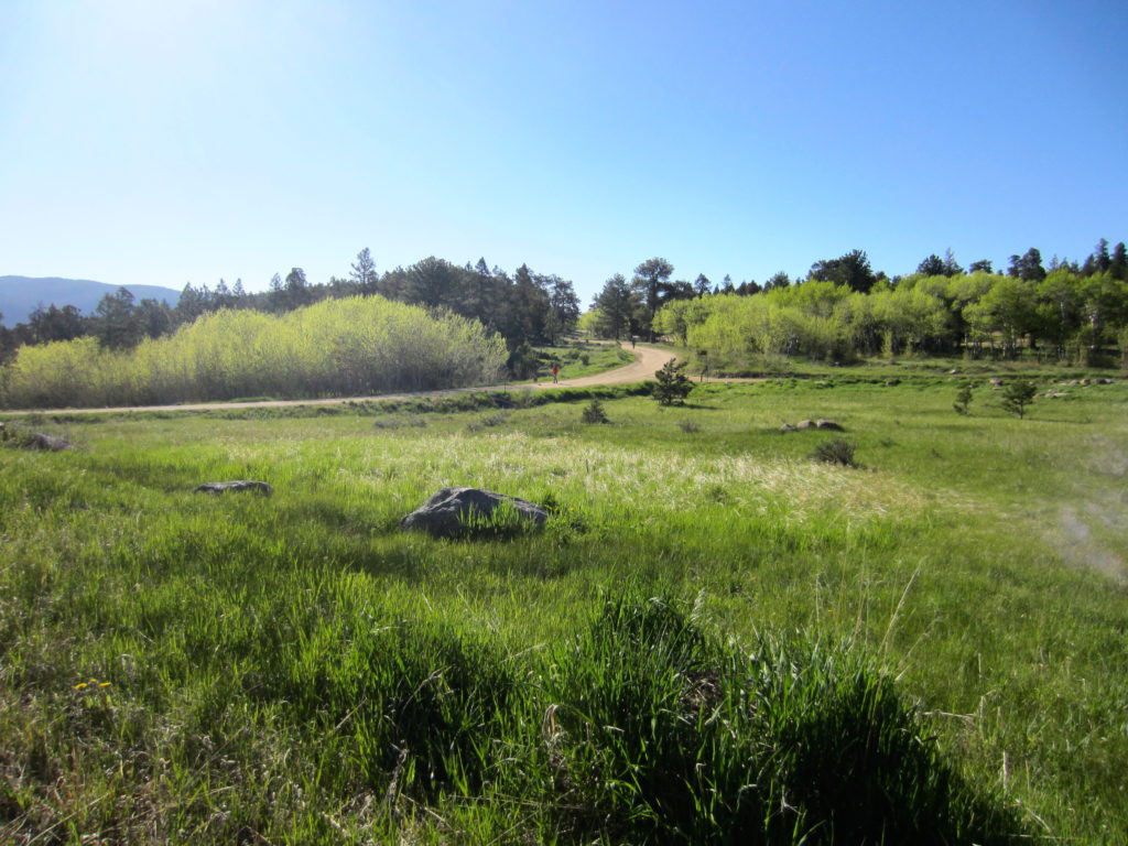
From the parking lot at the pavilion in Hermit Park, the 9,355 foot summit of Kruger Rock doesn’t look so impressive. (Just wait!)

IMG_5217_1

At the trailhead.

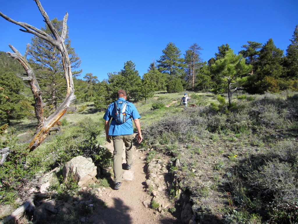
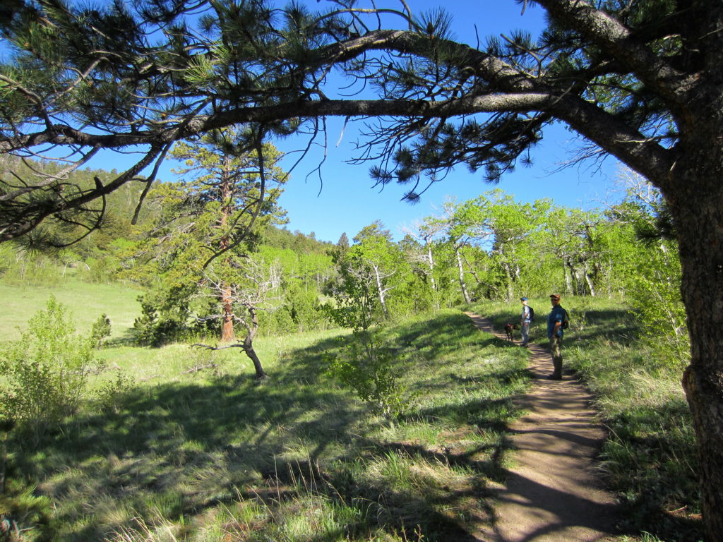
We started around 8am, with the morning sun at our backs and a cool breeze on our faces. The trail led us gradually up an open hillside with scattered aspen, pinon and  mountain iris. We took our time, stopping to examine the flora that caught our eye.

IMG_5225_1IMG_5226_1IMG_5232_1IMG_5239_1

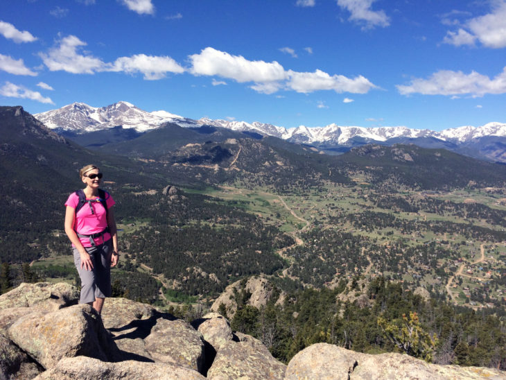
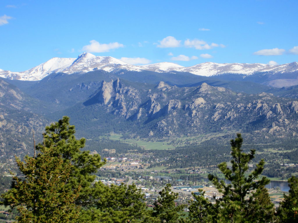
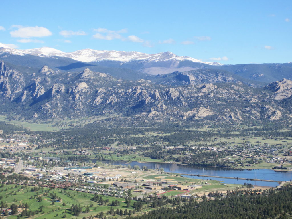
Near 8,800 feet, the trail crests a saddle and the first views of Estes Park and the Mummy Range comes into view.  We paused to take some pictures and scan the town below, Lumpy Ridge, and the snow-capped peaks.

Views of Estes Park, Lumpy Ridge and the Mummy Range.

Views of Estes Park, Lumpy Ridge and the Mummy Range.

Lake Estes

Lake Estes

The trail then turns SW for a short descent, and then climbs through forest with intermittent views of high peaks.

IMG_5268

Standing deadwood.

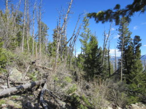
We passed an area of standing deadwood. Possibly a small fire years ago?

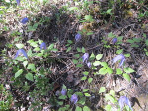
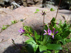
As the trail grew steeper with a short set of switchbacks, I paused a few times to catch my breath and admire the purple Pasqueflower and Harebells.

Harebells

Harebells

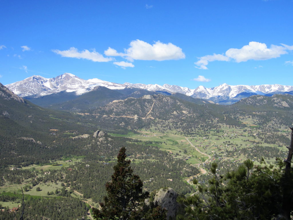
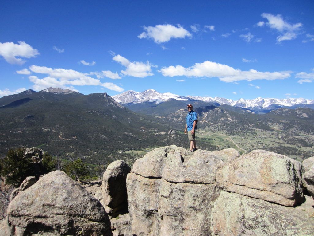
Near the summit we were rewarded with a stunning overlook – the Estes Park Valley and the Longs Peak/Mount Meeker massif. We stopped to take in the Continental Divide peaks in the distance. I noted Flattop, which I hiked in 2014 as part of an ‘up and over” hike from Bear Lake to Grand Lake with my Dad. Flanking it to the left is Hallet Peak and Otis, two peaks on my list to bag.

IMG_5280_1

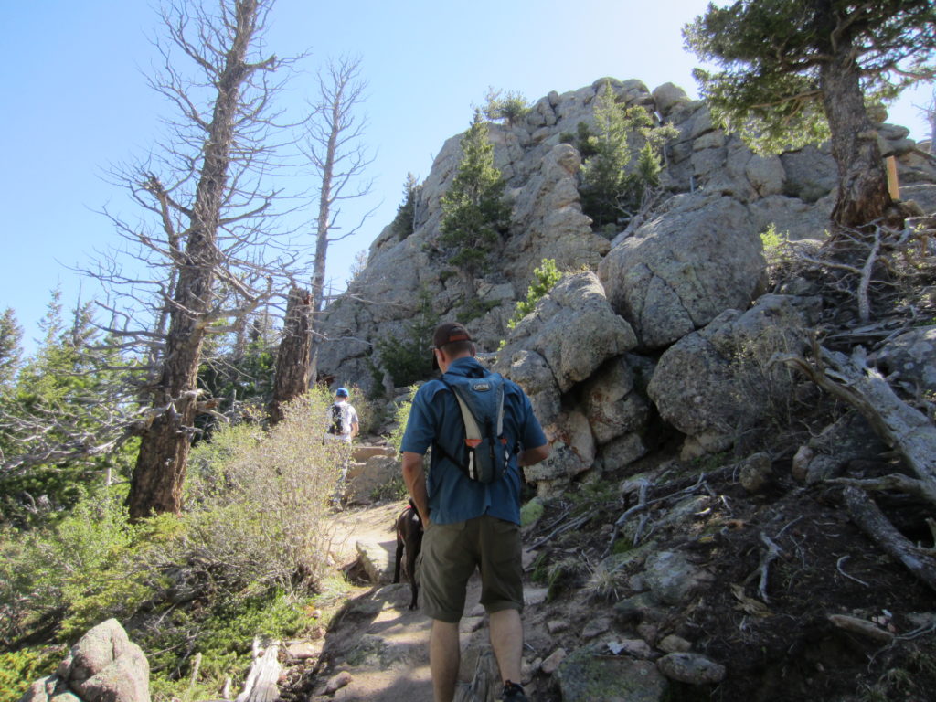
From here it was only a short climb to the end of the trail at the base of the rocky crown of Kruger Rock.

IMG_5290

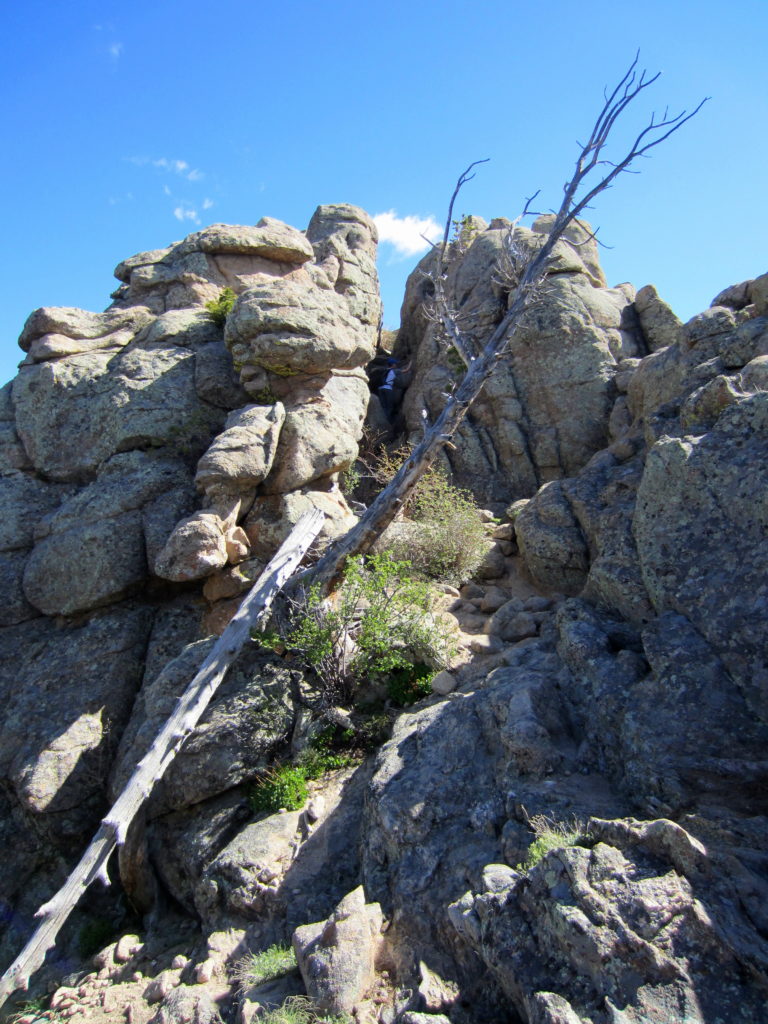
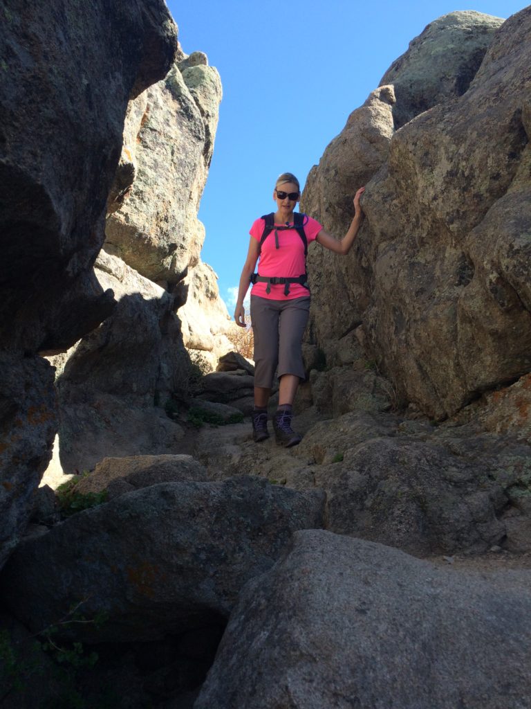
We made the short scramble up the narrow gully in the summit block to the relatively flat summit.

Class III rock scramble to the top - fairly easy to negotiate.

Class III rock scramble to the top – fairly easy to negotiate.

DPhoto060416_1

Descending the rock scramble near the top.

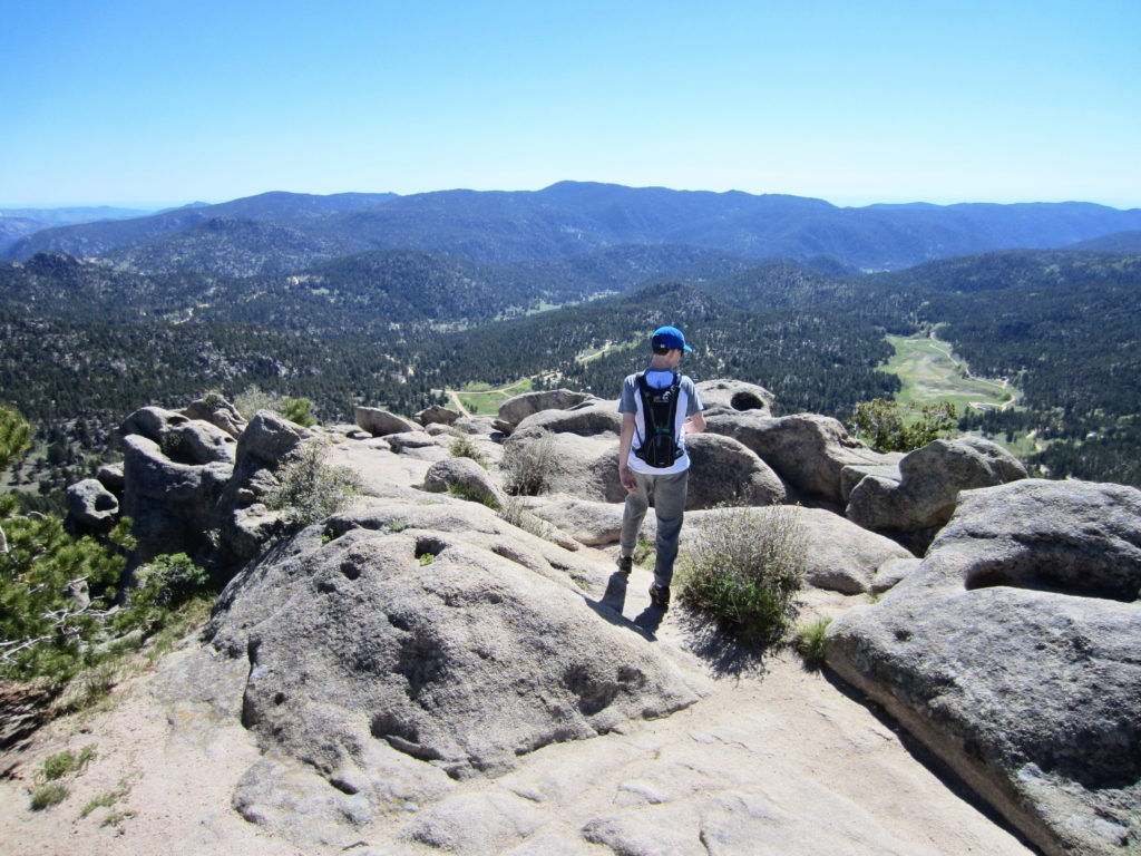
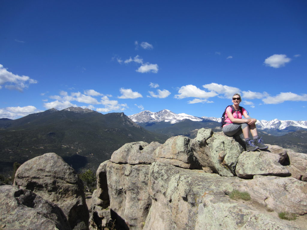
The 360 views were just gorgeous.

IMG_5309_1

Views West

Views East

IMG_5294

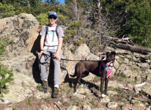
Brogan and Sophie

Brogan and Sophie 

Notes:

This is a dry hike, so if you have your dog along make sure and bring some water for him/her.

Start early, as this is a popular trail and it gets crowded as the morning wears on.

There is a $6 fee per vehicle (at the time of this writing.)
Button Rock Dam Loop and Sleepy Lion Trail

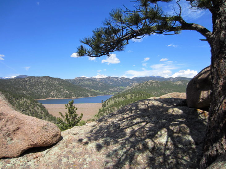
Ralph Price Reservoir viewed from Sleepy Lion Trail

For our second family hike this season, we decided on a 4.7 mile loop through the Button Rock Preserve surrounding Ralph Price Reservoir.

This trailhead is within 15-20 minutes of our home in Longmont, CO. It’s our city’s beautiful watershed area, and I can’t believe we haven’t gone sooner!

The entrance to Button Rock Preserve is 2.8 miles down CR80 just north of Lyons, CO.

The entrance to Button Rock Preserve is 2.8 miles down CR80 just north of Lyons, CO.

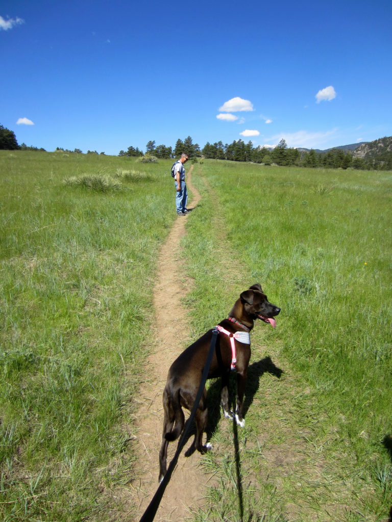
Dogs are allowed, so we brought Sophie. She loves hiking and we love taking her with us.

The trail begins on a graded service road, open to authorized vehicles only, along North St. Vrain Creek.

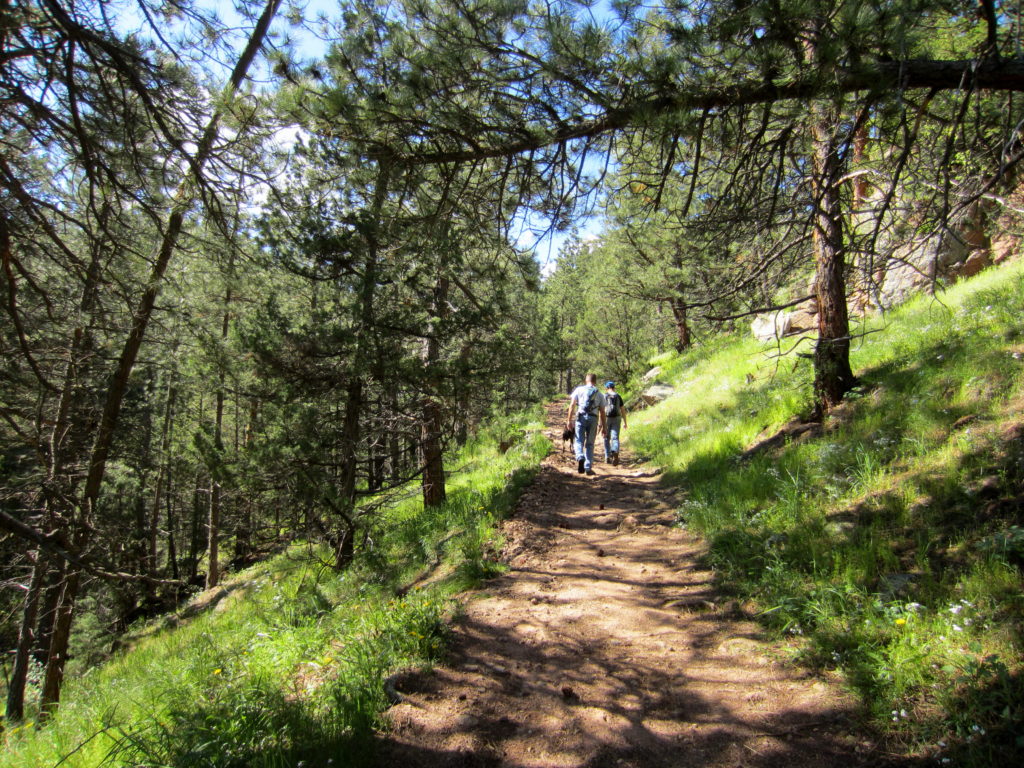
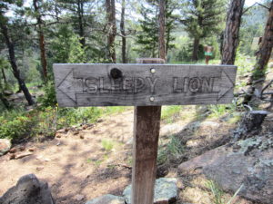
At .75 miles, we left the road and took Sleepy Lion Trail, rising sharply into the dappled shade of Ponderosa pine and Douglas fir.

IMG_5168_1

The start of Sleepy Lion Trail.

The elevation gain on this 2-mile section of trail is about 500 feet.  Enough to get the blood pumping without doing me in.

At 1.25 miles we left the forest and traversed a large, grassy meadow. We had gotten a late-ish start. It was after 10am, and the Memorial Day sun was growing stronger in a cloudless sky .

Sophie is enjoying the hike.

Sophie is enjoying the hike.

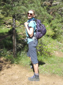
Showing off my new CamelBak Sequoia 22 Hydration Pak.

Showing off my new CamelBak Sequoia 22 Hydration Pak.

I took a sip of cool water from the mouthpiece of my new CamelBak Sequoia 22 Hydration Pack. My 2016 hiking season gift to myself. It was the REI Anniversary Sale, so I got it for 25% off. (Yes!)

Until now I have always dayhiked with a hip pack and two water bottles – snacks in the zipper compartment and my rain jacket strapped to the underside.

But I wanted to be able to carry more water and more gear for some anticipated summit hikes this season. After an hour trying on daypacks and debating pros and cons, I decided on the Sequoia 22. It has a 3L water reservoir, and plenty of room for anything else I might need for a long day in the mountains.

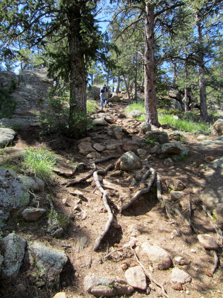
On the other side of the meadow, we climbed steadily into forest with rocky outcrops.

A pleasant, steady climb to the top of the trail.

A pleasant, steady climb to the top of the trail.

Staying on Sleepy Lion Trail

Staying on Sleepy Lion Trail

At 1.75 miles we passed up the Button Rock Trail junction. Taking this trail would have extended our hike by 4 miles. Not yet ready for that.

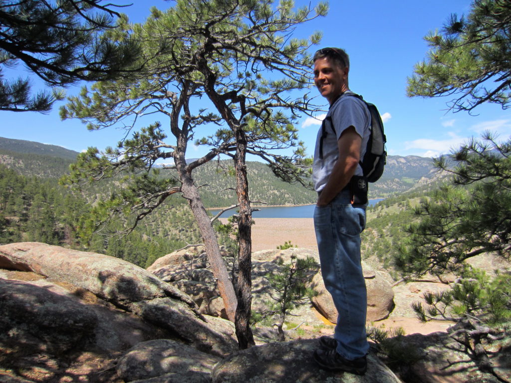
A few more zig-zags and we were at the top of the trail.  With some maneuvering around large boulders, we were rewarded with views of Ralph Price Reservoir, and snow capped Mt. Meeker and Long’s Peak on the horizon beyond.

My husband, Doyle, enjoying the view of Ralph Price Reservoir in the distance.

My husband, Doyle, enjoying the view of Ralph Price Reservoir in the distance.

After a brief rest and visit with other hikers with their dogs, we continued on.

The trail widened and dropped down to the dam outlet via several switchbacks.

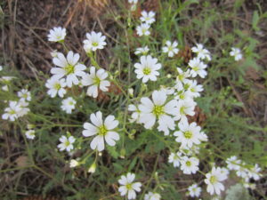
Field Mouse-ear Chickweed

Field Mouse-ear Chickweed

Not sure what this pretty flower is.

Not sure what this pretty flower is.

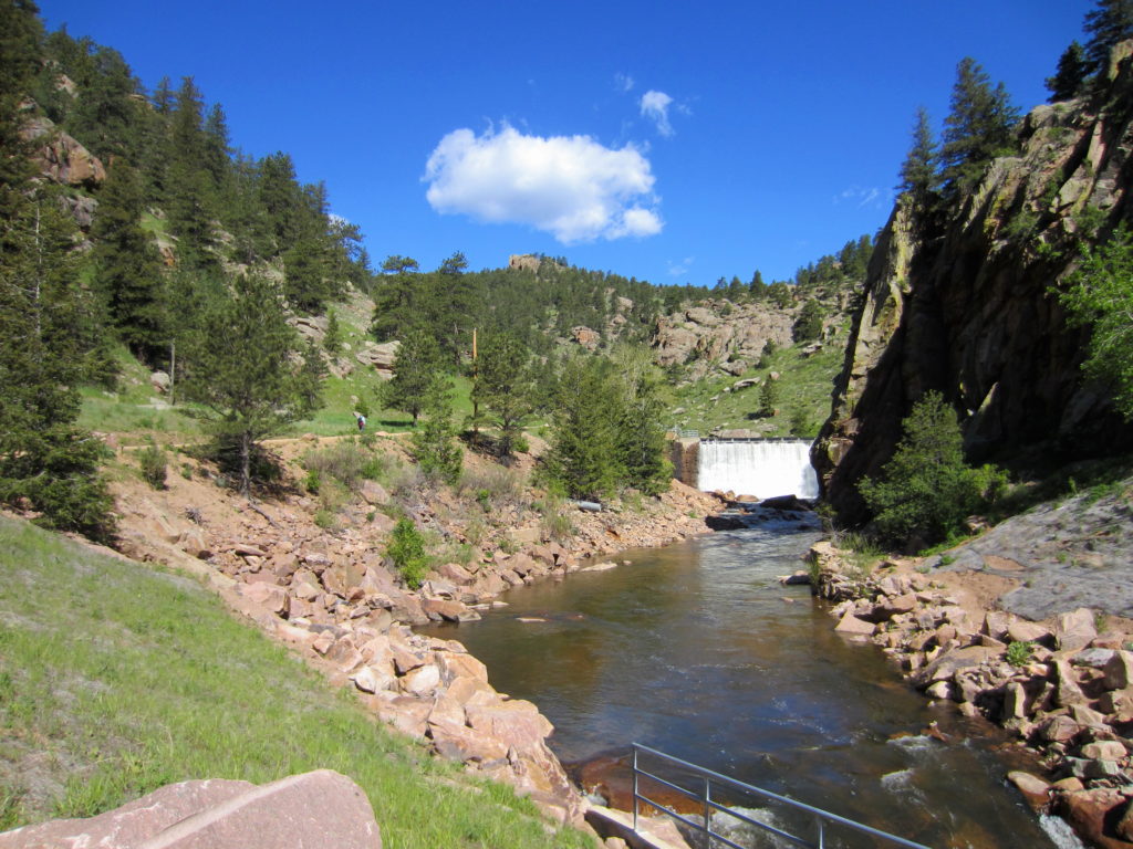
After the climb and mid-day sun, the powerful spray from the dam outlet was so refreshing!

At the outlet, Sleepy Lion Trail ends. The remaining 2 miles of our hike was on the service road along North St. Vrain Creek.

There were plenty of places to stop and enjoy the rushing water.

My perfect snack break spot on North St. Vrain Creek.

My perfect snack break spot on North St. Vrain Creek.

This turned out to be a very pleasant hike that I would do again. When we return, we’d like to take the zigzagging 300-foot trail to the top of the reservoir. Maybe do some fishing.

This was a fun family hike!

This was a fun family hike!