Hiking the Rocky Mountains

Category - easy family hikes

Button Rock Dam Loop and Sleepy Lion Trail

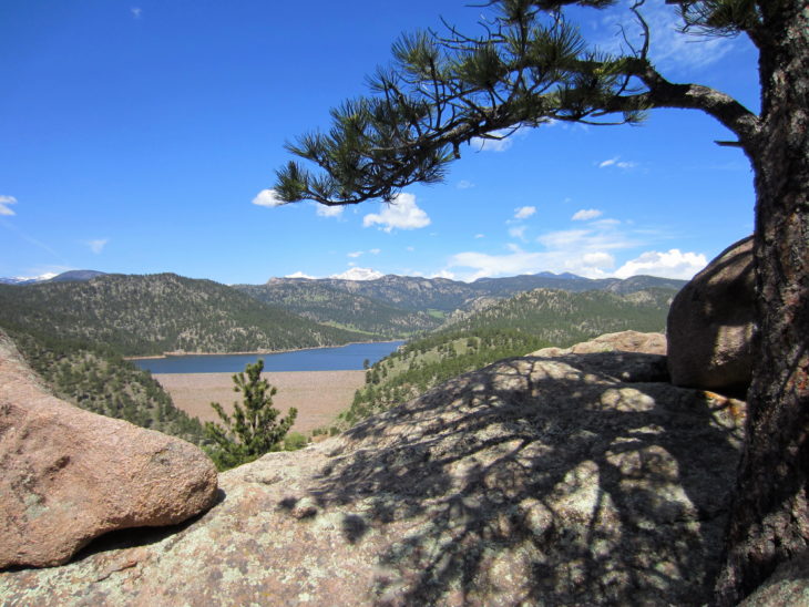
Ralph Price Reservoir viewed from Sleepy Lion Trail

For our second family hike this season, we decided on a 4.7 mile loop through the Button Rock Preserve surrounding Ralph Price Reservoir.

This trailhead is within 15-20 minutes of our home in Longmont, CO. It’s our city’s beautiful watershed area, and I can’t believe we haven’t gone sooner!

The entrance to Button Rock Preserve is 2.8 miles down CR80 just north of Lyons, CO.

The entrance to Button Rock Preserve is 2.8 miles down CR80 just north of Lyons, CO.

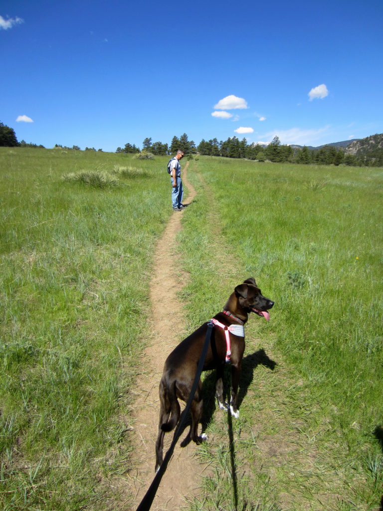
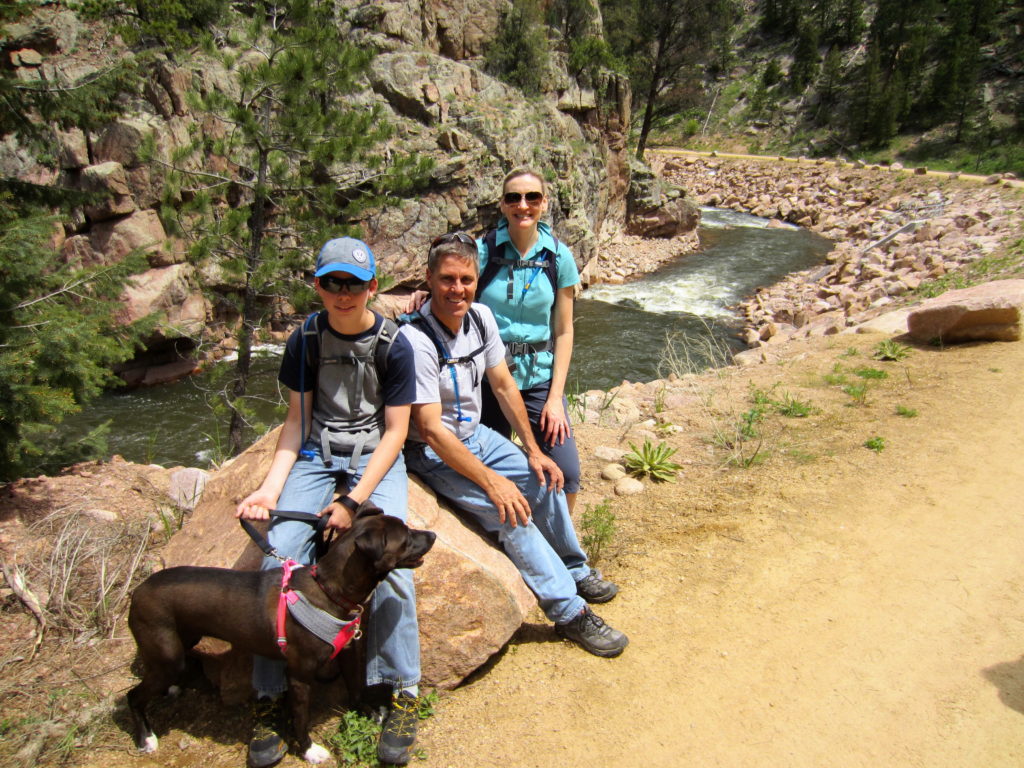
Dogs are allowed, so we brought Sophie. She loves hiking and we love taking her with us.

The trail begins on a graded service road, open to authorized vehicles only, along North St. Vrain Creek.

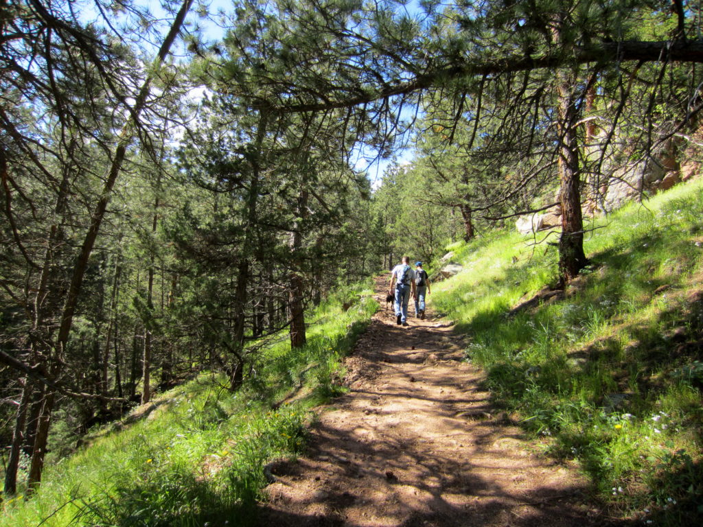
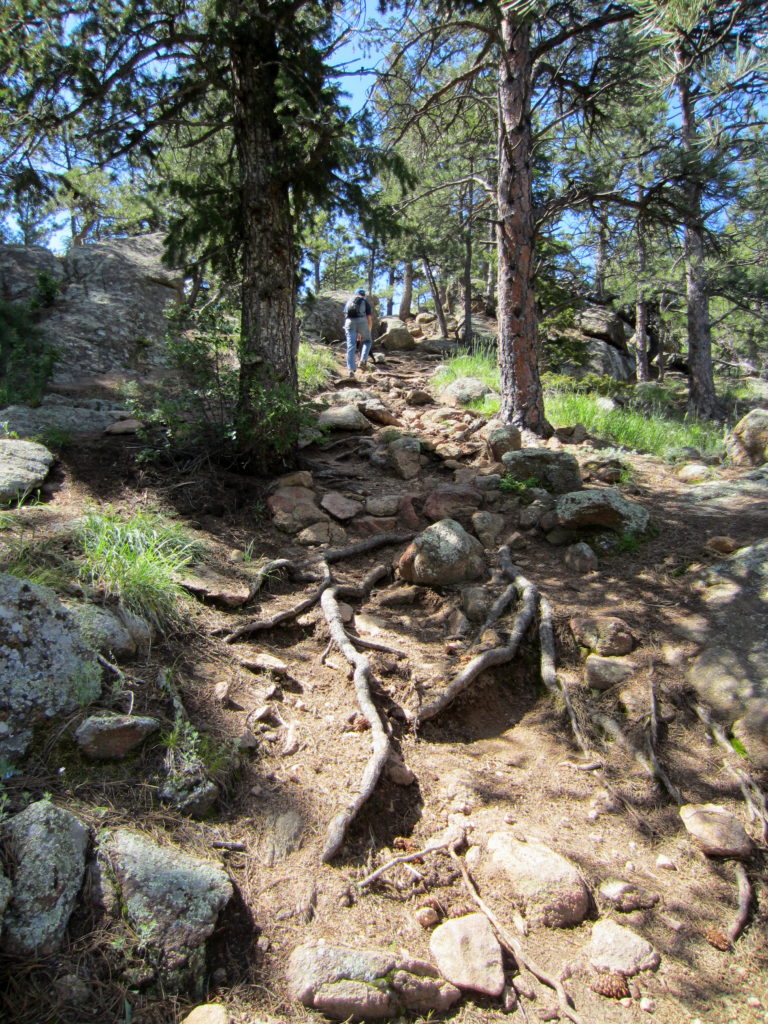
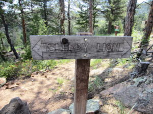
At .75 miles, we left the road and took Sleepy Lion Trail, rising sharply into the dappled shade of Ponderosa pine and Douglas fir.

IMG_5168_1

The start of Sleepy Lion Trail.

The elevation gain on this 2-mile section of trail is about 500 feet.  Enough to get the blood pumping without doing me in.

At 1.25 miles we left the forest and traversed a large, grassy meadow. We had gotten a late-ish start. It was after 10am, and the Memorial Day sun was growing stronger in a cloudless sky .

Sophie is enjoying the hike.

Sophie is enjoying the hike.

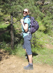
Showing off my new CamelBak Sequoia 22 Hydration Pak.

Showing off my new CamelBak Sequoia 22 Hydration Pak.

I took a sip of cool water from the mouthpiece of my new CamelBak Sequoia 22 Hydration Pack. My 2016 hiking season gift to myself. It was the REI Anniversary Sale, so I got it for 25% off. (Yes!)

Until now I have always dayhiked with a hip pack and two water bottles – snacks in the zipper compartment and my rain jacket strapped to the underside.

But I wanted to be able to carry more water and more gear for some anticipated summit hikes this season. After an hour trying on daypacks and debating pros and cons, I decided on the Sequoia 22. It has a 3L water reservoir, and plenty of room for anything else I might need for a long day in the mountains.

On the other side of the meadow, we climbed steadily into forest with rocky outcrops.

A pleasant, steady climb to the top of the trail.

A pleasant, steady climb to the top of the trail.

Staying on Sleepy Lion Trail

Staying on Sleepy Lion Trail

At 1.75 miles we passed up the Button Rock Trail junction. Taking this trail would have extended our hike by 4 miles. Not yet ready for that.

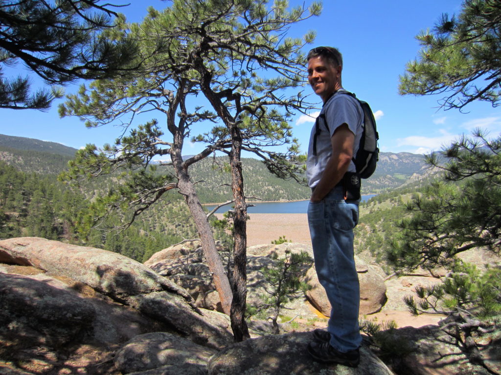
A few more zig-zags and we were at the top of the trail.  With some maneuvering around large boulders, we were rewarded with views of Ralph Price Reservoir, and snow capped Mt. Meeker and Long’s Peak on the horizon beyond.

My husband, Doyle, enjoying the view of Ralph Price Reservoir in the distance.

My husband, Doyle, enjoying the view of Ralph Price Reservoir in the distance.

After a brief rest and visit with other hikers with their dogs, we continued on.

The trail widened and dropped down to the dam outlet via several switchbacks.

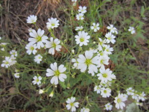
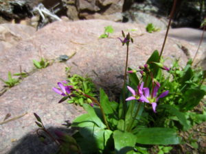
Field Mouse-ear Chickweed

Field Mouse-ear Chickweed

Not sure what this pretty flower is.

Not sure what this pretty flower is.

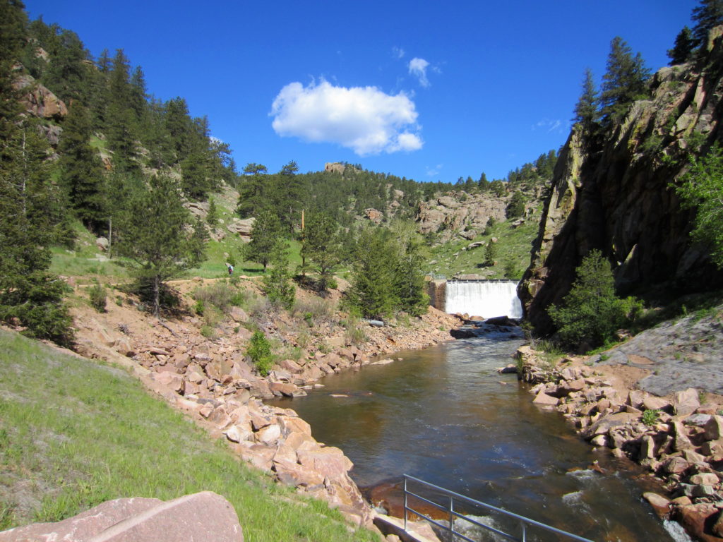
After the climb and mid-day sun, the powerful spray from the dam outlet was so refreshing!

At the outlet, Sleepy Lion Trail ends. The remaining 2 miles of our hike was on the service road along North St. Vrain Creek.

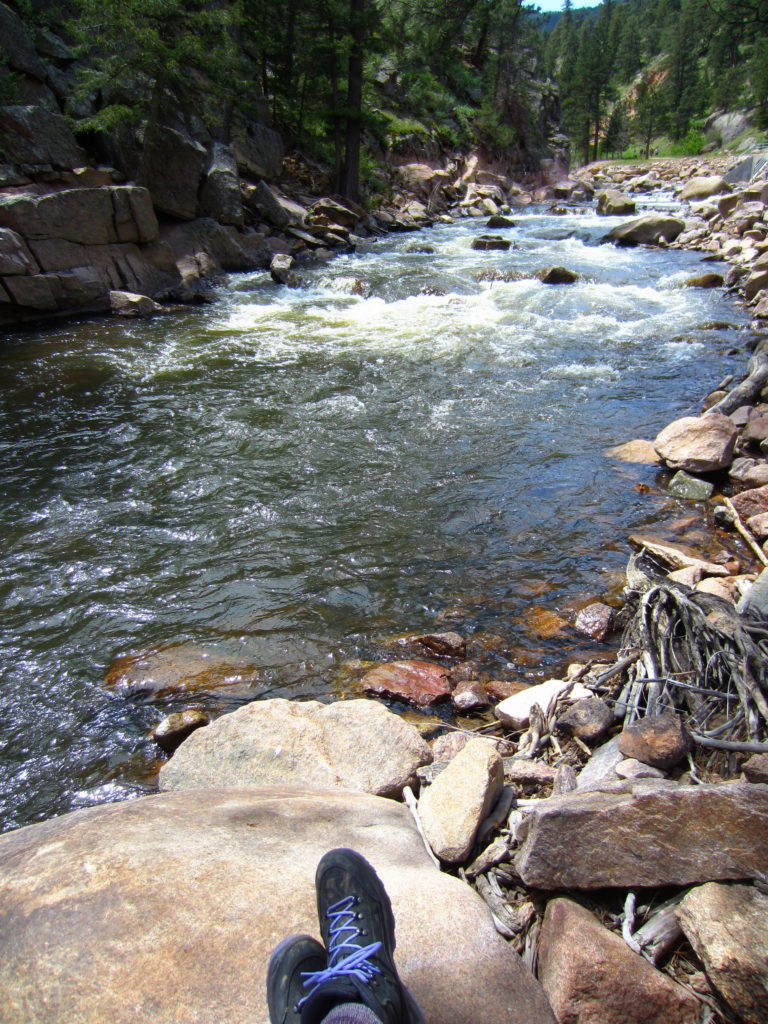
There were plenty of places to stop and enjoy the rushing water.

My perfect snack break spot on North St. Vrain Creek.

My perfect snack break spot on North St. Vrain Creek.

This turned out to be a very pleasant hike that I would do again. When we return, we’d like to take the zigzagging 300-foot trail to the top of the reservoir. Maybe do some fishing.
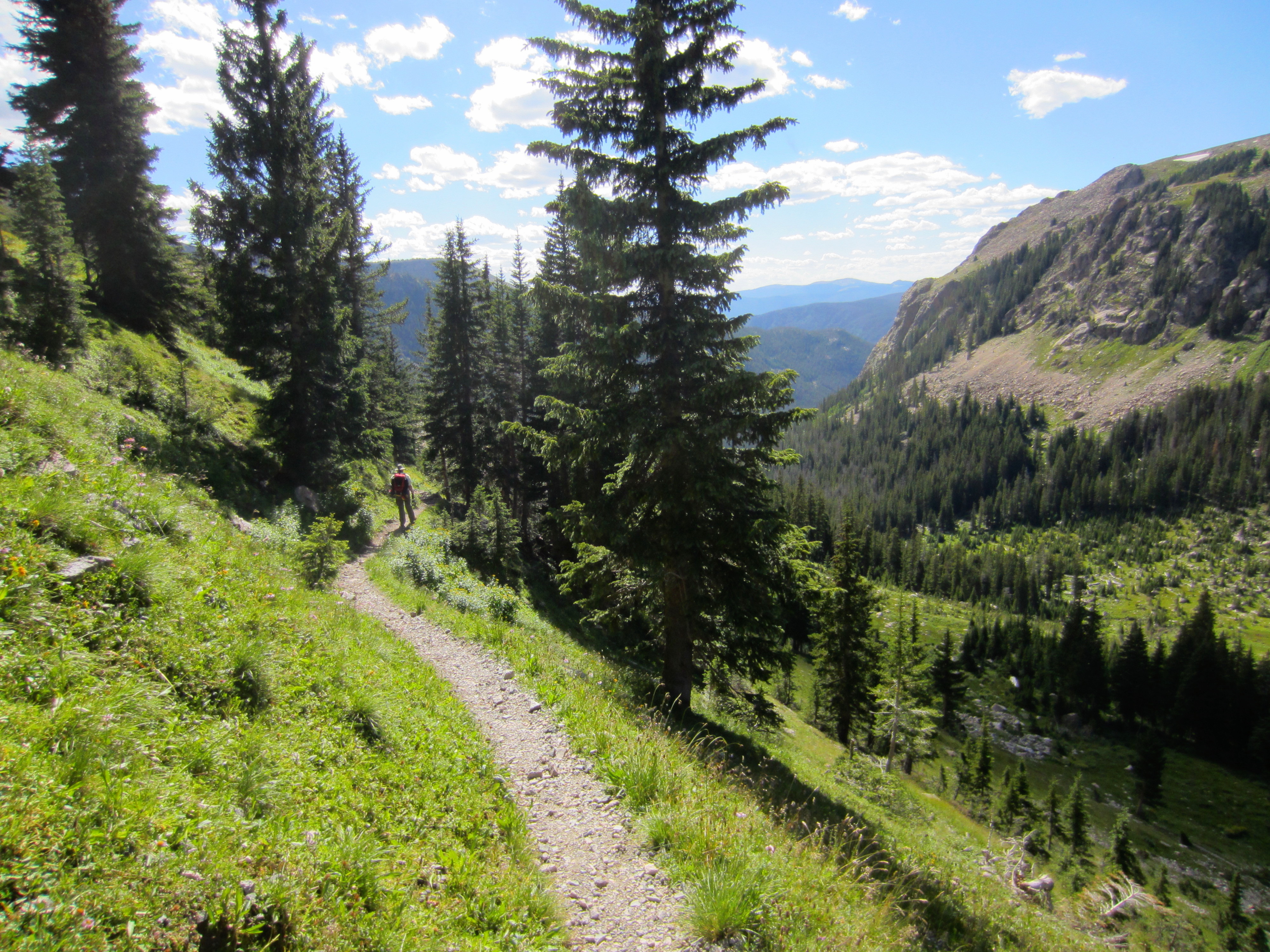
This was a fun family hike!

This was a fun family hike!

Copeland Falls

Sometimes hiking is challenging.  Grueling, even.

And sometimes it is a relaxing stroll that allows you to notice the sharp scent of pine needles, the smallest, most delicate flower petals, and the rushing sounds of a creek.  All without breaking a sweat.

Copeland Falls is just such a “hike.”  At just under 1 mile round trip with a very modest 75 foot elevation gain, the trail is perfect for families with young children, grandparents, or anyone wanting to get outside and enjoy a lovely set of falls without having to work too hard for it.

While camping at Olive Ridge over Labor Day weekend, my parents, sister and brother-in-law joined us at our camp site for lunch, and then we made the short drive to the Wild Basin entrance to Rocky Mountain National Park.

Being a busy holiday weekend, the ranger in the booth advised us that we may not be able to find parking.

Fortunately, hikers that had hit the trail early to destinations further up the mountain were now returning to their vehicles, and we were able to find precious parking at the trailhead.

There is plenty to keep kids busy having fun on this short hike.

There is plenty to keep kids busy having fun on this short hike.

The weather was a very agreeable 70 degrees, and the high clouds and tall pines shaded us from the heat of the sun.  The trail rose gently along North St. Vrain Creek, and at .35 miles we reached Lower Copeland Falls.

Lower Copeland Falls Photo by Larry W. Jones

Lower Copeland Falls
Photo by Larry W. Jones

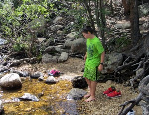
Here the creek falls about 3 feet from a wide slab of rock and spreads out into a shallow pool with areas for rock hopping and cooling your toes.

Lower_Copeland_Falls_Brogan_feetin

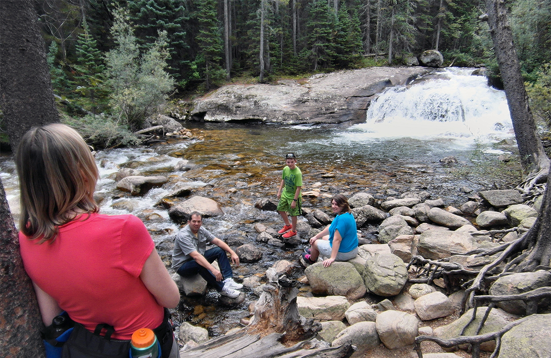
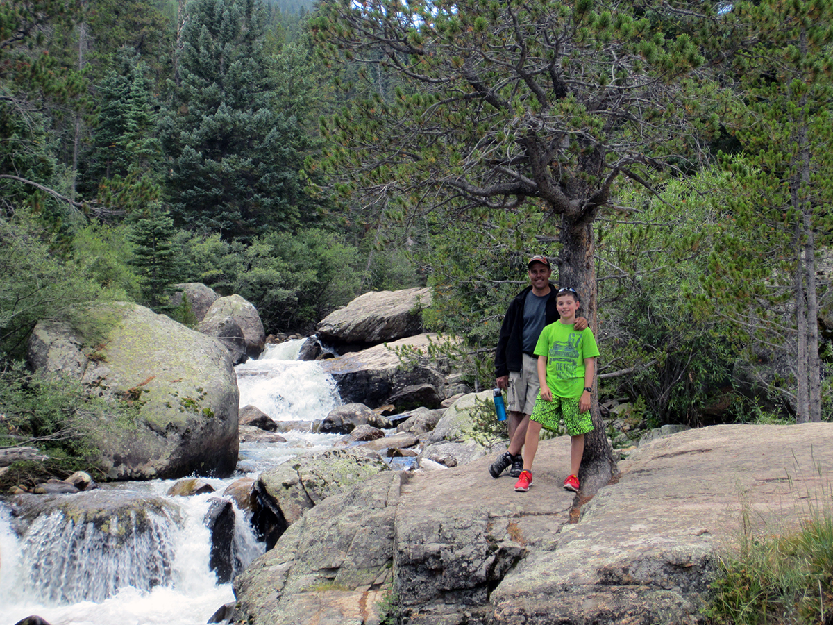
Another tenth of a mile up the trail we reached Upper Copeland Falls, a series of falls where the creek rushes and foams over and around boulders and fallen trees, then finally sails over a large rock ledge to complete the set.

Doyle and Brogan at Upper Copeland Falls

Doyle and Brogan on a section of Upper Copeland Falls

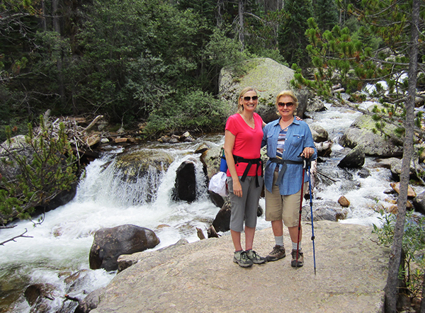
CopelandFalls_me_mom

Me and Mom

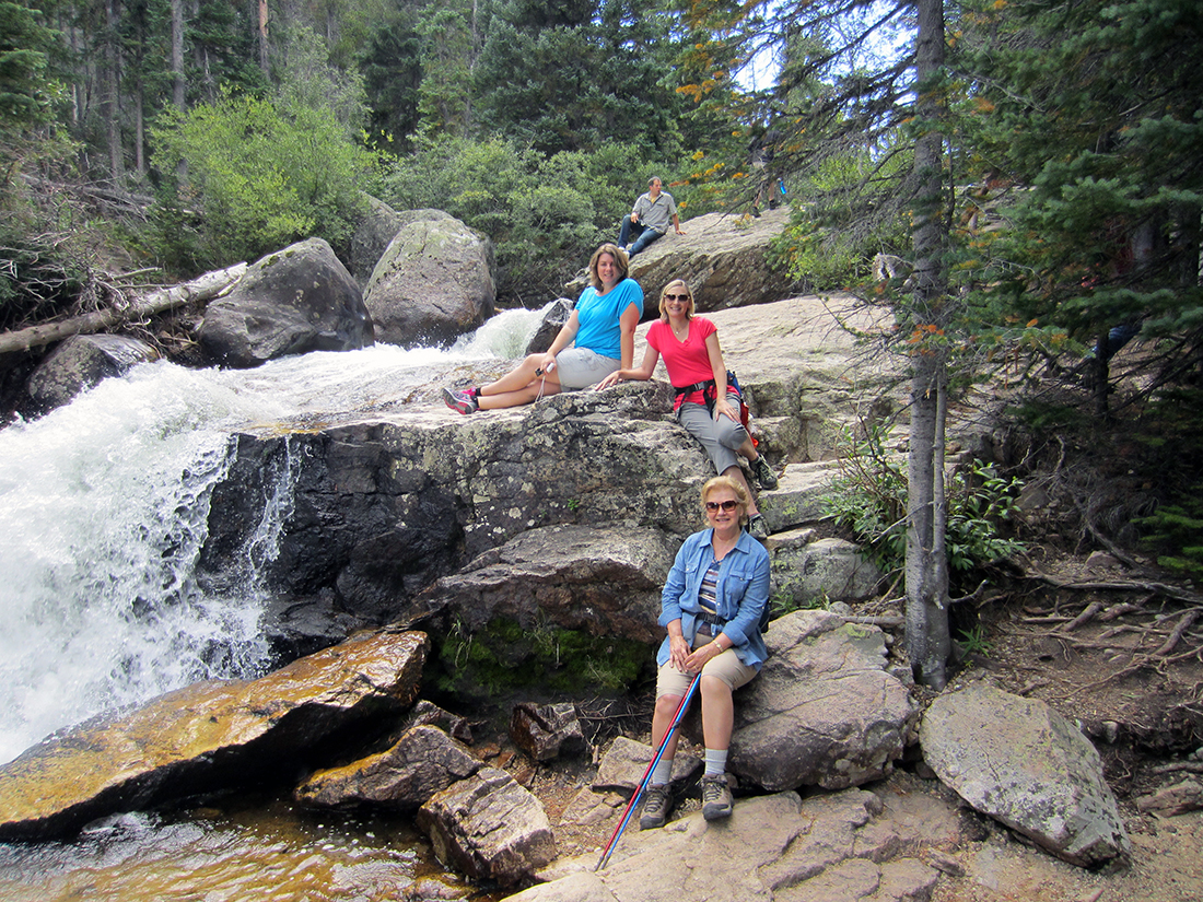
We explored the many rock outcroppings along the falls, and stayed a while to enjoy them.

There are so many places to sit and enjoy the falls.  Spend some time here.

There are so many places to sit and enjoy the falls.  Bring lunch!

Further up the trail are Calypso Cascades, and Ouzel Falls, both larger and more impressive.  But that could wait for another day.  It was refreshing to explore and enjoy this one beautiful spot on earth, without having to hurry on up the trail.