Hiking the Rocky Mountains

Tag - Indian Peaks Wilderness

Blue Lake, Indian Peaks Wilderness

Blue Lake

Moose! I jumped out of the Jeep into a strong, cold wind, and pointed my camera across the road to the edge of the woods.

Three large bull moose browsed the foliage, the early morning light revealing the red in their deep chocolate coats. They were still in velvet, still hanging out together.

Bull Moose at Brainard Lake

Three Bull Moose Near Brainard Lake

With the elk already in early rut, I had not realized that moose would be so far behind in the season.

I snapped a few photos, lamenting the insufficient zoom on my scratched and beaten up Canon Powershot ELPH camera. A decent digital SLR moved up several notches on my mental wishlist.

Early Morning Sun on Brainard Lake

Early Morning Sun on Brainard Lake

At 7 am, at 10,525’ feet elevation, in late August, it was only 45 degrees. The crisp wind won, and I climbed back into the Jeep.

We drove past Brainard Lake to the Mitchell Lake Trailhead parking lot. Having arrived so early, there were plenty of parking spaces still available.

After visiting the vault toilets and getting our gear sorted, we finally hit the trail at 7:30. Early enough.

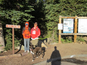
Mitchell Lake Trailhead

Mitchell Lake/Blue Lake Trailhead

Sophie was darting left and right on a taught leash, excited to be on the trail.

I was hiking with one of my trekking poles this time, hoping it would help reduce the stress on my right knee. I put on my gloves, and pulled the edges of my headband down over my ears against the cold.

Unfortunately, Brogan was not so well equipped. I had asked him to bring his hoodie. Instead of his good thick one, he had grabbed his new thin cotton zip-up hoodie, suitable for the classroom only. He stopped to put his rain jacket on over it for an extra layer, but then he couldn’t access his warm fleece pockets. His face was cold. His legs were cold.

I promised him he would warm up. It’s always hard to adjust to the first cold days, especially on the heels of a hot summer.

The first mile of the trail to Mitchell Lake was easy-peasy. We stopped to take a few pictures of the brisk wind whipping up waves on the water.

Mitchell Lake On a Very Windy Morning

Mitchell Lake On a Very Windy Morning

A bit further down the trail we crossed the Mitchell Lake inlet. The long footbridge is made of two sets of large fallen logs in a V shape across the creek. I recalled the first time I had crossed this bridge. It had been high summer, the creek decorated with a riot of wildflowers. Now only a few spent yellow blooms remained.

Mitchell Lake Inlet Crossing

Mitchell Lake Inlet Crossing

But the rock strewn meadows were beginning their transition to gold and amber, and Mount Audubon towered just beyond. Still beautiful.

Mount Audubon - 13,223' - Borders the Trail to Blue Lake

13,223′ Mount Audubon Borders the Trail to Blue Lake

The trail steepened. A series of rocky staircases led us past Blue Lake’s large outlet pools. I counted at least three, all pretty. The middle pool offers large flat rocks for a rest with a good view.

One of 3 Outlet Pools

One of 3 Outlet Pools

Eventually we got into patchy krummholz. The conical summit of Mount Toll grew larger as we got higher.

Patchy Krummholz Near Blue Lake

Patchy Krummholz Near Blue Lake

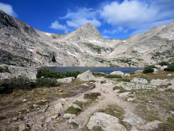
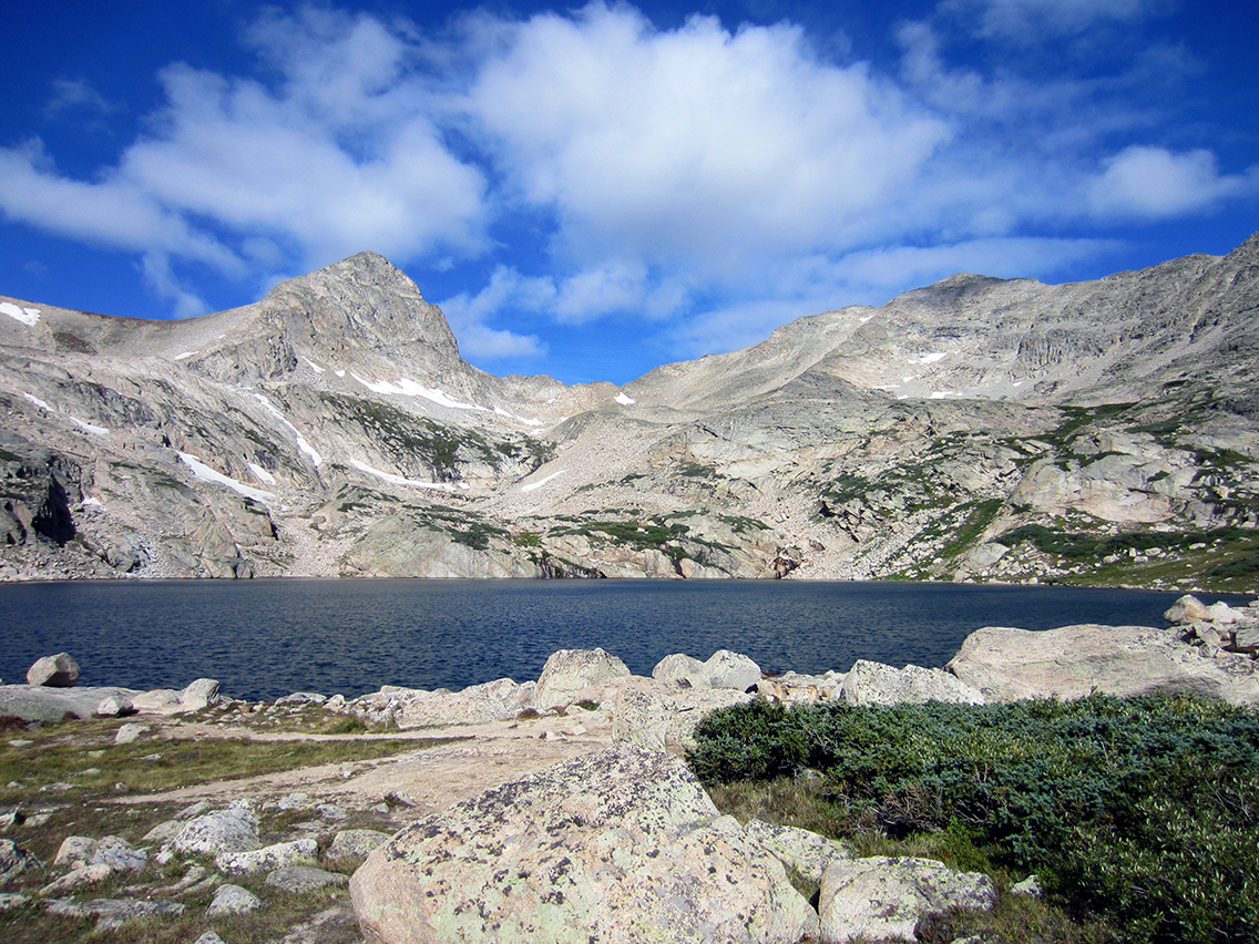
The trail cleared treeline, then crested the east shore of Blue Lake.

Blue Lake sits at 11,355’, in a rocky glacial cirque framed by four peaks – Pawnee Peak to my left (SW) followed by conical Mount Toll to the West, and then two 13ers – Paiute Peak to the NW and finally Mount Audubon to the NE.

Blue-Lake-Mt-Toll

Blue Lake – 11,355′

During the hot months, hikers recline on the many boulders surrounding the lake, and catch the rays while viewing the large lake. Or they push on another ¾ of a mile or so to Upper Blue Lake, in a rocky bench below Mount Toll, via a social trail.

Today the icy wind off the lake limited the amount of time I could spend enjoying it.

I found Doyle, Brogan and Sophie sitting high on a rock, the boulder to their backs acting as a wind break.

This large boulder made a good wind break.

This large boulder made a good wind break.

I joined them and doled out hummus, pita bread, woven wheat crackers, fruit and nut bars and granola. I had forgotten our PB&J sandwiches, and was glad I had packed extra snacks.

After refueling, I sat up over the edge of the boulder and shot some video. Most of my words were ripped away by the wind.


We started back down the trail. Lots of people were now coming up, some in shorts and tank tops. I wondered how they would enjoy their destination without freezing.

Brogan Makes a Snowball

Brogan Makes a Snowball

At the last willow-lined outlet pool below the lake, we were rewarded with more moose. Two large bulls rested in the shade of willow and twisted pine. I noticed the reddish brown coat of a third in the distance.

I took turns with the other hikers, stepping through the scrub just off the trail, trying to get a decent picture and video of these giants.

They were so close! And totally unconcerned with what we were doing. One of them yawned, closed his eyes.

A little further into the Season, and this encounter might have been dangerous. But today it was safe and enjoyable.

After a while, I regretfully retreated and resumed the hike back down. I could have pulled up a chair and watched them all afternoon.

We made it back to the Jeep about noon. After a long work week and not getting enough sleep, we felt this 5.1 mile out and back trail had been enough.

On the way out, we ate another snack of yogurt and grapes at Brainard Lake.

I thought about how special the many moose had made this hike. But our experience could have been very different.

I recalled the news story about the beautiful bull moose shot by a bowhunter at this very lake two years ago. People had been watching the giant bull, probably oohing and ahhing as we had done. Then a hunter shot it dead.

Adults were shocked. Children were traumatized. How could a moose be shot right there at the lake, were families come to hike and admire nature?

Unfortunately, this is a dual-use area. The properly licensed hunter had his opportunity, and he took it. Nature-loving spectators be damned.

I licked the yogurt off my spoon. Fortunately, nothing like that had happened today.
Red Deer Lake

Red Deer Lake

It had been six long weeks since our last real hike. I was looking forward to hitting the trail to Red Deer Lake, a new destination in the Indian Peaks Wilderness.

But when my iPhone alarm went off at 5am on July 23rd, I silenced The Piano Guys with a swipe of my thumb and lay there.

I hadn’t slept well, my mind wandering over the mental packing list, trying to find the item I had likely missed. Woke up at 3. Half dozed until 5.

Now all I wanted was a cup of the elixir of life.

At least the breakfast burritos were already made. The snacks, rain jackets, dog water bowl and topo map were already loaded in my backpack.

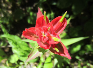
Vibrant Paintbrush

Vibrant Paintbrush

I swigged down my coffee.  We had a full day ahead of us, time to put it in gear.

I turned on the lights and rallied the troops.  Sophie bounded up and down the stairs with her squeaky ball in her mouth, the only one happy that the day was beginning earlier than usual.

An hour and a half later (really?) our Camelbaks ® were filled with ice water, last minute items were found (Where’s my sunglasses? Where is the right hose for my Camelbak – this is the old one missing the valve. Who used all of the ice?) and we were finally in the Jeep headed for Camp Dick.

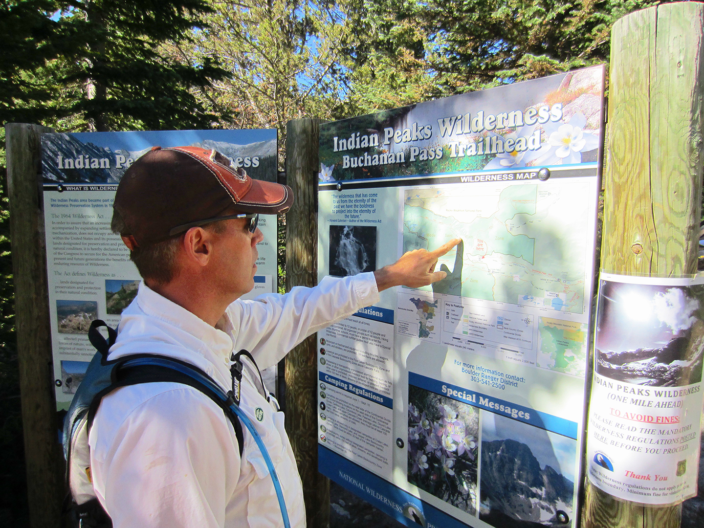
An hour later, we arrived at Camp Dick, our favorite campground and the Middle St. Vrain 4×4 trailhead. Instead of hiking the Buchanan Pass Trail from Camp Dick, we were going to drive the 4×4 trail which runs parallel to the hiking trail, and pick up Buchanan Pass Trail at the 4WD terminus – shaving over 7 miles off our hike.

A running club pulled up and parked at around the same time. Trim women spilled out of vehicles and ran-walked to the vault toilets a few hundred yards down from the parking lot.  I figured they’d summit and return long before we hit the trailhead.

We didn’t air down the tires, so the rocky 4×4 trail was slow and verrrry bumpy. Sophie was overly excited by this new kind of crazy car ride, and it took some effort to keep her safely situated on the floor behind the driver’s seat.

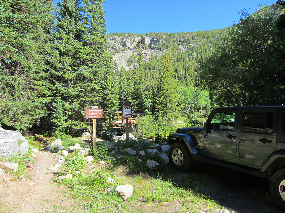
Doyle took his time. We inched over and around obstacles, and arrived at the trail junction at the bridge 1.75 hours later. We could have walked faster, but now our hike would be 6.4 miles instead of 13.9.

Middle St. Vrain 4WD Terminus

Middle St. Vrain 4WD Terminus

I opened the back of the Jeep and grabbed my pack. The bottom was wet. After checking Doyle’s hydration pack and my own, it appears that I had set my heavy pack on the mouthpiece of his Camelbak and a liter or more of water had leaked out. My bad.

He probably had a liter left. I had 2 liters, and Brogan probably had 3, so we would be okay on this 6.4 mile round trip hike.

IMG_5528_1_Web

We got on the trail at 9:30. Sophie was ecstatic, pulling on her leash. (Obedience school is next on the agenda.) The beginning of the trail is rocky, like walking a dried out riverbed. Then the trail gets pretty wet, as the trail follows the stream.  I would imagine the trail could be pretty soggy  in places in early summer, or after an afternoon rainstorm.

We rounded a bend and a runner burst onto the trail from behind a tree, startling us. It was one of the women I had seen hustling to the bathrooms earlier. I stepped aside so she could pass. She had probably summited Buchanan Pass already and was on her way back down.

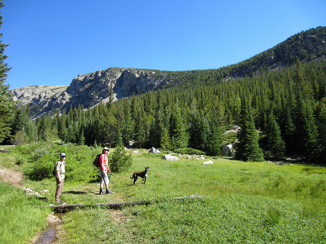
The trail opened up onto a lovely meadow.

IMG_5535_1_Web

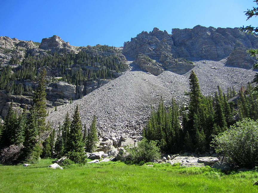
St Vrain Mountain, with her talus and boulder-strewn slopes, loomed large along the eastern side of the trial.

St Vrain Mountain

St Vrain Mountain

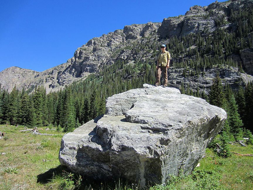
These boulders are huge!

These boulders are huge!

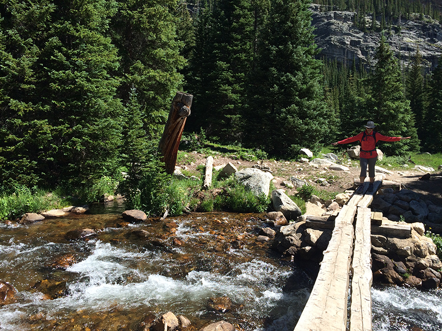
At the end of the meadow is the St Vrain Glacier Trail split. We turned West and crossed the Middle St Vrain Creek on a split log bridge. I was glad to see it.

Bridge over Middle St. Vrain Creek

Bridge over Middle St. Vrain Creek

About 8 years ago, we had tried to hike this trail with some friends. The bridge was washed out and there was no way to cross, so we had continued on the St Vrail Glacier Trail, only to have to turn back after a mile due to another stream crossing that we couldn’t manage with young  children.

After the creek crossing, the trail abruptly turns South into forest. I saw an orange domed tent at a nice camping spot along the creek .

Wildflowers in the Creek.

Wildflowers in the Creek.

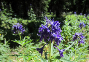
Subalpine Larkspur

Subalpine Larkspur

We hiked in welcome shade. The day was growing warmer. Back down in Longmont at 5000 ft, it was going to be 98 degrees. Here it was likely in the 70s, but the intense sun made it feel warmer.

We came upon the Red Deer Lake trail split- a cairn in the middle of the trail and two sign posts – without signs.

Watch for the cairn in the middle of the trail.

Watch for the cairn in the middle of the trail.

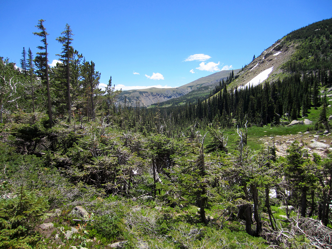
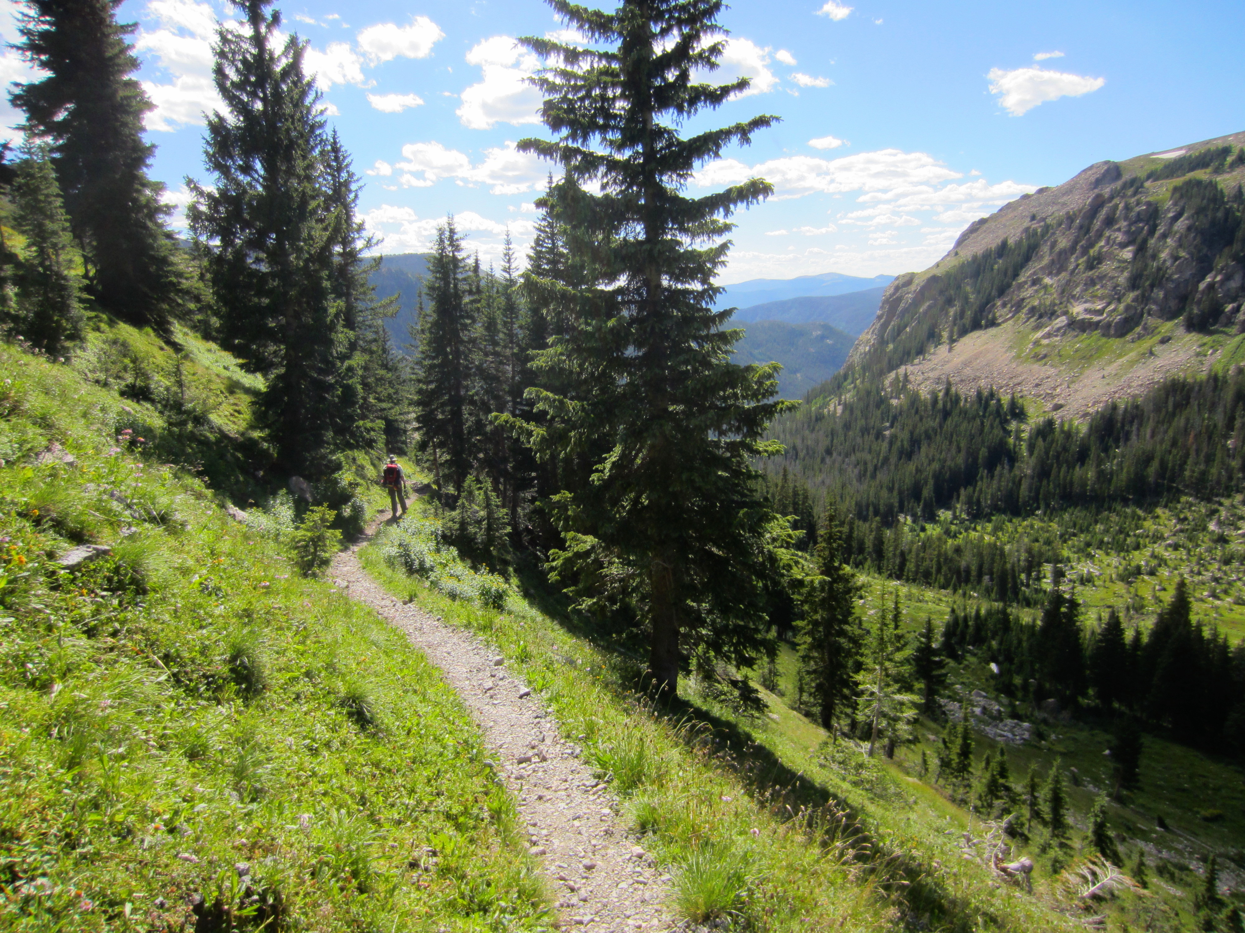
The trail steepened, heading northwest along a narrow ridge, and eventually topped out in a krummholz area. I stopped a few times along the way to catch my breath. I was really dragging today.

The trail turns NW and steepens.

The trail turns NW and steepens.

Krummholz Near Red Deer Lake

Krummholz Near Red Deer Lake

By the time I reached the lake, hiking through a patch of aspen, I was ready for a flat rock in the shade.

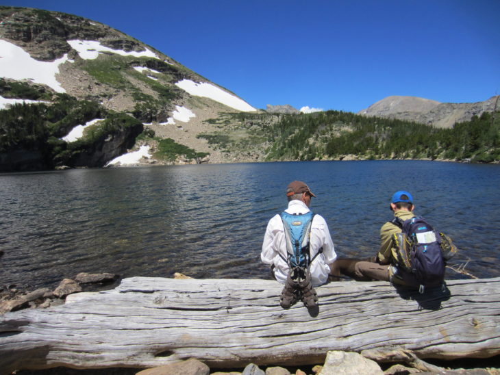
I settled for a log at the lake outlet, unzipped my backpack and handed out lunch.

The lake was bigger than I expected.  There is a trail around it, but it was too difficult for a dog to manage, so we hung out at the edge of the lake and admired the waterfalls and enjoyed the brisk wind off the lake.

Doyle and Brogan dipped their feet into the water. At 10,372’, it was a fairly cold lake. I gave Sophie her treat – peanut butter bread.

After lunch we walked around the lush lake outlet area. Sophie played in the snow patch. I admired the wildflowers.

Red Deer Lake Outlet

Red Deer Lake Outlet

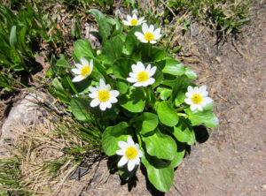
Marsh Marigold

Marsh Marigold

Then we headed back down, knowing we had a near 2 hour 4WD trip ahead of us, plus another hour back to the house.

At about 4 miles of hiking, my right knee started to hurt. I was not surprised – it always gives out at 4 miles, regardless of how much hiking I have done in a season. I stopped at the creek crossing to put on my knee brace. I should have put it on earlier.

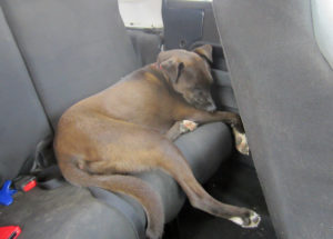
A Tuckered Out Sophie

A Tuckered Out Sophie

Back at the Jeep, I switched out my hiking boots for water sandals and stood on the cold creek. Ahhh. So much better.

Three hours later we were home.

Overall it was a nice hike. Not being as popular as Buchanan Pass, the trail to Red Deer Lake was relatively quiet with only a few other hikers. The 3 hours to the trailhead was a drag, but at least it was doable. And we were able to see something new.